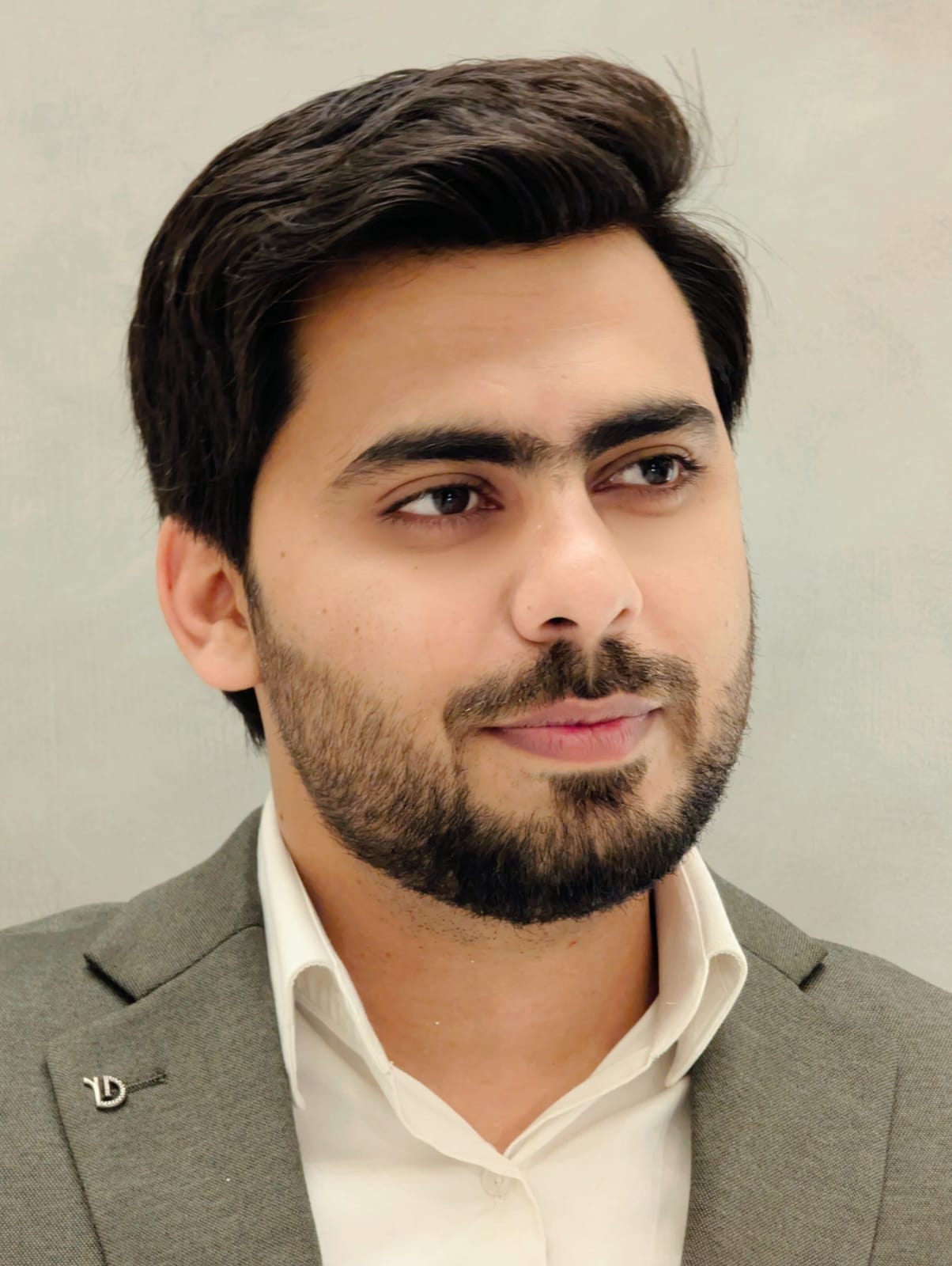
Remote Sensing & GIS Specialist
GIS professional with 4+ years of experience across spatial analysis, CAD-to-GIS conversion, InSAR-based deformation mapping, and multi-criteria site suitability modeling. Currently manage geospatial data integration for DHA Islamabad Rawalpindi's infrastructure network, standardizing 30,000+ spatial records. Completed an MS in Remote Sensing & GIS (CGPA 3.9, Institute of Space Technology) while working full-time. Experienced turning large, inconsistent spatial datasets into decision-ready maps and models for infrastructure, urban planning, and energy-sector applications.
Member Since
August 24, 2026
Last Active
2 months ago
